4. Etappe -TALfahrt.
[deutsch, Français, English] 4. Etappe: Genf – Virignin. Vom Genfer See durch die Rhôneauen nachVirignin. Du Lac Léman par les plaines alluviales jusqu`à Virignin. From the Lake Leman via the floodplains to Virignin. Wir folgen der Rhône von Genf die ersten 97 km, erleben spektakuläre Ausblicke auf den Fluss und verabschieden uns von den schneebedeckten Alpen. [Kommentare siehe ganz unten]
B&B Domaine en Trembley.
Heute Morgen haben wir schon unser nächstes B&B – leider liegt es in Neuseeland und die Besitzer sind gerade auf Europatour. Im Esszimmer des B&B ist der Frühstückstisch gemütlich gedeckt, die Marmeladen selbstgemacht und die Käse kommen vom Nachbarhof.
Ein älteres Ehepaar kommt dazu und spricht englisch. Wie sich herausstellt kommen die beiden aus Neuseeland und betreiben dort ein B&B. Nachdem die wichtigen Themen wie Familie, Weltpolitik und Brexit besprochen sind, brechen wir auf und jeder fährt seines Weges.
Wir haben uns zuvor mit Äpfeln und rotem Apfelsaft vom Hof eingedeckt. Dieser hat einen säuerlichen Geschmack. Fast erinnert er ein bisschen an Granatapfel. Gut bestückt brechen wir auf mit dem Ziel Genf, um endlich an die Rhône zu kommen. Die nächste Übernachtung ist tatsächlich gebucht (s.u.).
Genf – Chancy
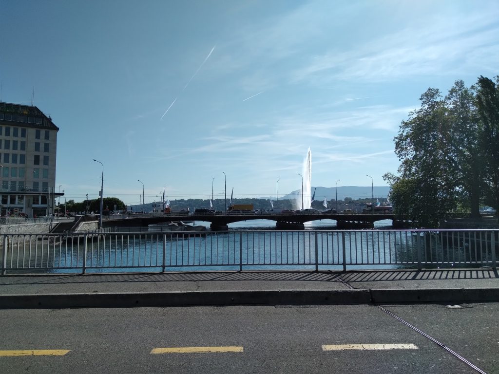
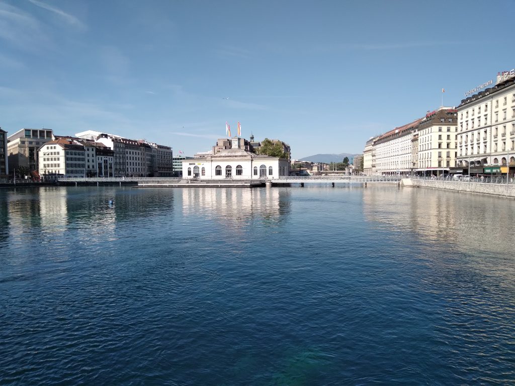
Wir fahren wieder über die Nationalstraße 1 weiter nach Genf. Dort quälen wir uns durch die morgentliche Rushhour. Die Autos verstopfen die Straßen und die E-bikes schießen aus allen Richtungen hervor. Die separate Fahrrad- oder Busspur ist sehr hilfreich. Auf der Seeseite führt ein breiter Fahrradweg auf die Seepromenade, an der sich ein Nobelhotel an das andre reiht. Dann kommt die erste Brücke in Sicht.
Wir haben die Rhône erreicht. Um 9:45 Uhr kann unsere eigentliche Tour beginnen. Das Wasser ist klar und schillert in dunkelblau und grün. Wir kämpfen uns weiter durch. Als wir endlich auf das erste Schild zur ViaRhôna treffen, landen wir in einer Baustelle in einem Hinterhof. Zwei Ecken weiter, das nächste Schild.
Genf
Wir haben bereits vorher beschlossen, dass wir unser Prinzip vorerst beibehalten und über die Straße fahren. Wir fahren über die höhergelegenen Vororte Richtung Westen aus der Stadt. Der Radweg führt separat von der Straße und es blüht in allen Farben.
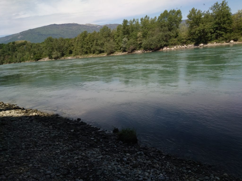
Chancy ist ein netter Ort, in dem die alten Häuser schön gepflegt sind und zum Verweilen einladen. Doch es geht weiter, wir wollen endlich Wasser sehen. Ein Waldweg führt nach unten und wir kommen tatsächlich ans Rhôneufer. Türkisblau plätschert das Wasser über die Steine. Nach der chaotischen Großstadt eine erholsame Wohltat.
Chancy – Seyssel
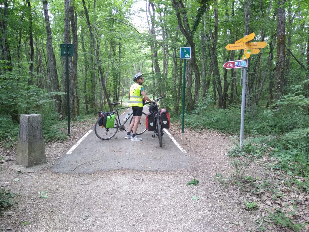
Bald steigt der Weg wieder an und führt über einen Waldweg steil nach oben. Mit den schweren Packtaschen ist das eine Herausforderung. Dann – mitten im Wald – die Grenze nach Frankreich. Hier sagt ein Bild mehr als viele Worte…
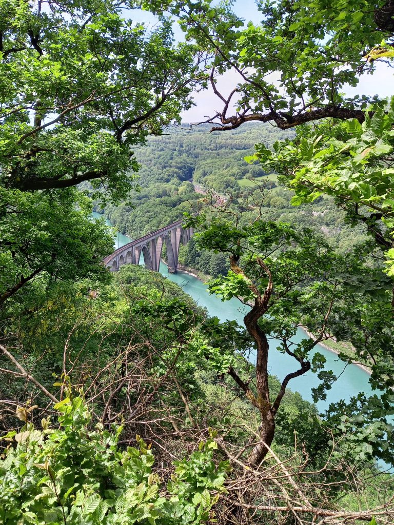
Wir fahren weiter durch den Wald. Die Vögel zwitschern und Uschi könnte uns die App nennen, die die Vogelarten identifizieren kann. Wir erreichen den Ort Vulbens und entscheiden uns mal wieder für die Straße. Ein hoher Berg trennt uns vom Fluss. Nein, der Weg führt um den Berg herum. Aus einer Kurve haben wir einen Blick ins Tal – wir sehen den Fluss und alles wirkt wie bei einer Modelleisenbahn. Mehrere Straßen schlängeln sich den Berg hinauf. In einem Tunnel verschwindet die Eisenbahn.

Wir fahren weiter um die Kurve und schlängeln uns auch den Berg hinauf. Wir bleiben auf der Höhe. In Chêne-en- Semine verlassen wir die Höhe und fahren endlich ins Tal hinunter. Ein letzter Blick auf den Mont-Blanc und wir tauchen in die Obstplantagen ein. Dann erreichen wir Seyssel und endlich kommen wir der Rhône wieder nah.
Rhôneauen
Nach Seyssel folgen wir dem Radweg. Dieser ist asphaltiert und verläuft meist eben. Er führt kreuz und quer durch die Felder, vor allem aber durch die Rhôneauen. Der Bärlauchduft ist ein ständiger Begleiter. Ganze Wälder von weißem Blauregen säumen den Weg und verströmen einen überwältigenden Duft.
Plötzlich ist der Weg blockiert und ein Sandhaufen als Sperrung aufgeschüttet. Diese Baustelle dauert schon länger, so gut wie der Trampelpfad angelegt ist. Die Uferböschung ist heruntergebrochen. Die Rhône fliesst direkt an uns vorbei.
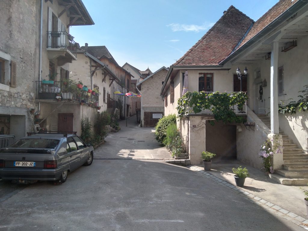
Wir erreichen Charnaz. Ein hübscher, alter Ort, an einem Seitenkanal, der touristisch sehr belebt ist. Wir müssen über eine Fußgängerbrücke – als ob hier jemals ein Segelboot mit aufgestelltem Mast durchkäme… und dann über die Schleuse und das Wasserkraftwerk.
Spätestens jetzt führt der Weg parallel zum Kanal – einer Umleitung der Rhône. Da wir nicht wissen, was uns bei unserer Übernachtung erwartet, fährt Andreas heute den Schlenker über den Supermarkt, um uns für das heutige Picknick zu versorgen.
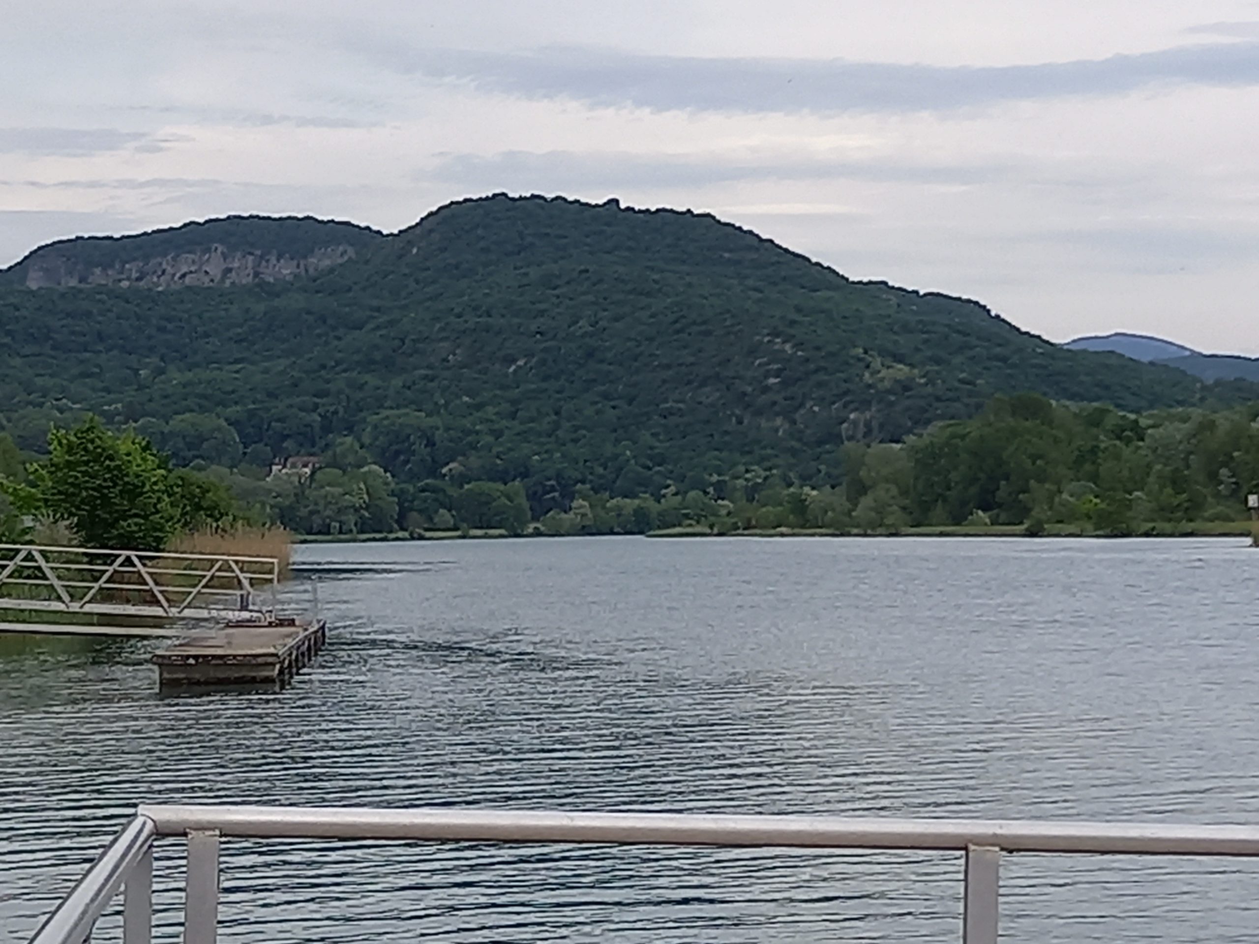
Dann kommen wir an den Jachthafen von Virignine und die Lodges der ViaRhôna.
Technische Daten – Schluchten der Rhône.
Gegen Mittag bewölkt es sich, es bleibt aber heiß. Am Abend fallen ein paar Regentropfen, ohne nennenswerte Spuren zu hinterlassen. Der Gegenwind bleibt uns auch heute erhalten. Irgendwie haben wir den Eindruck, es läuft nicht so richtig. Der Schock ist groß, als ich um 15 Uhr erfahre, dass ich voraussichtlich noch 50 km fahren muss – es waren dann doch nur noch gut 40 km. Und wieder sind wir nach 111 km angekommen…
4. Etappe – Genf – Virignin
| Merkmal | Beschreibung |
| Streckenlänge | 111 Kilometer |
| Höhenmeter | 514 m Steigungen, 729 m Gefälle |
| Wegbeschaffenheit | Straßen, asphaltiert, teilweise mit separatem Fahrradstreifen |
| Wetter | Sonnig, bewölkt, windig |
| Besonderheiten | s. Übernachtung |
Les Lodges de la ViaRhôna.
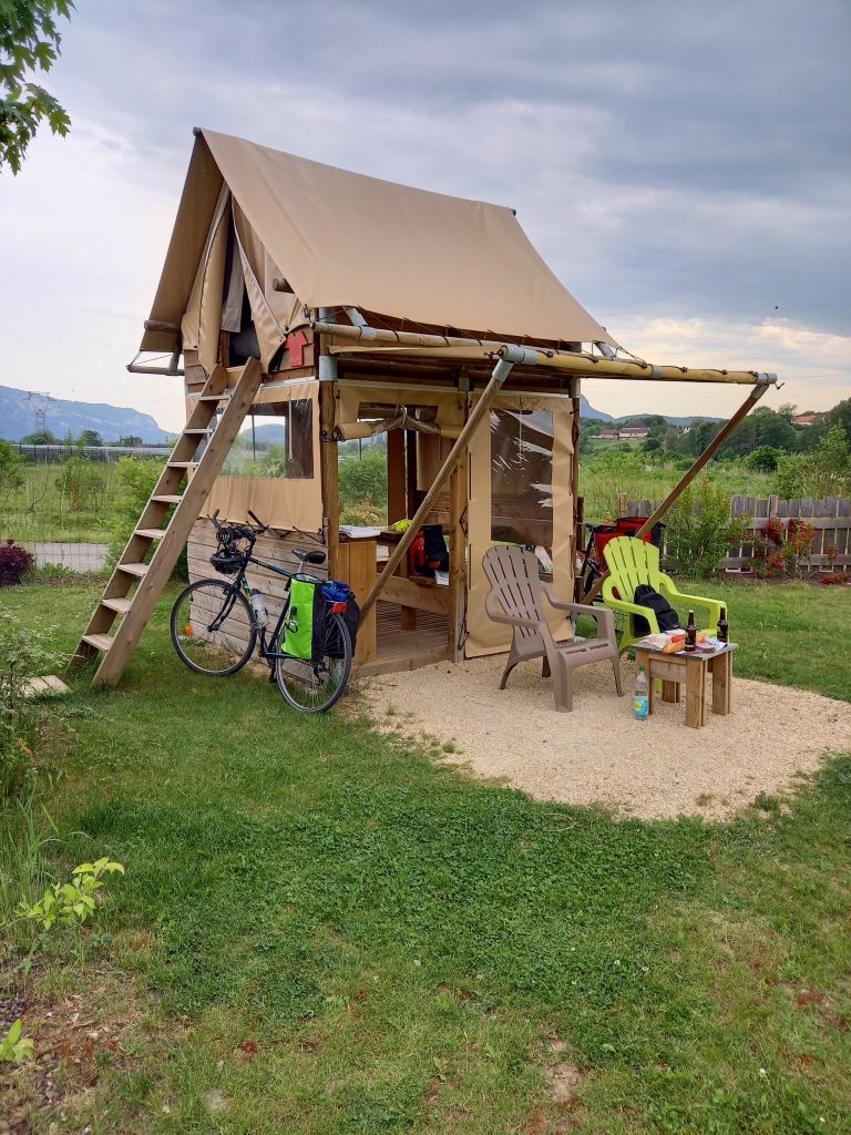
Zurück zum Jachthafen von Virignin. Als wir in das Becken einfahren, sehe ich die dreieckigen Dächer. Die Lodges sind 5 kleine Häuschen, die im Halbrund mit Blick auf den Hafen gebaut sind. Es handelt sich dabei um eine Art Baumhauskonstruktion. Über eine Leiter ist das Zelt im Obergeschoss erreichbar – das Schlafzimmer. Unten befindet sich hinter Zeltplanen ein Regal und ein Tisch mit Bänken. Vor dem Hauptzelt befindet sich die kleine Terrasse mit Liegestühlen und Tisch. Als die Regentropfen kommen, parken wir die Räder im „Haus“. Wir kommen zwar an nichts mehr dran, aber sie stehen trocken.

Außer dass ich ein Flachlandradler bin, stelle ich mich bei Sanitäranlagen sehr pingelig an. Nachdem ich diesen Schreck überwunden haben, finde ich das Ganze mal wieder richtig witzig.
Das lokale Bier ergänzt das Picknick. Nein, ich bin nicht zum Biertrinker geworden. Ich halte aber Bier für sinnvoller als Wein, wenn es darum geht, alles, was wir tagsüber ausgeschwitzt haben, wieder aufzufüllen.
Ich bin jetzt wirklich auf die bevorstehende Nacht gespannt…
NATUR.
Kaum verlassen wir Genf und seine Vororte und befinden uns mitten in der Natur. Die intensiven Düfte der Bäume, Wildblumen und Wildkräuter begleiten uns den ganzen Tag. Der Weg führt überwiegend durch Wiesen, Felder und Wälder. Die Weinreben haben wir für den Moment verlassen, wie auch die Obstplantagen.
Ich freue mich besonders auf den Streckenabschnitt bis Lyon, da dies hier eine Gegend ist, die kaum auf dem Weg in den Süden liegt und die man wohl ohne Anlass selten besucht. Südlich von Lyon bin ich mal auf die Weinbauregionen gespannt – auch wenn ich dafür wieder die Berge hochfahren werde…
Die 5. Etappe – die zweite der ViaRhôna – soll ganz in Flussnähe verlaufen und wird uns in Richtung Lyon bringen…
[francais] 4. étape. descente de vallée.
[Allemand, Français, Anglais] Etape 4 : Genève – Virignin. Du lac Léman en passant par le Rhôneauen jusqu’à Virignin. Du Lac Léman par les plaines alluviales jusqu`à Virignin. Du lac Léman par les prairies jusqu’à Virignin. Nous suivons le Rhône depuis Genève pendant les 97 premiers kilomètres, découvrant des vues spectaculaires sur le fleuve et disons au revoir aux Alpes enneigées. [Commentaires voir ci-dessous]
B&B Domaine en Trembley.
Ce matin, nous avons déjà notre prochain B&B – malheureusement c’est en Nouvelle-Zélande et les propriétaires sont actuellement en tournée européenne. Dans la salle à manger des chambres d’hôtes, la table du petit déjeuner est confortablement dressée, les confitures sont faites maison et le fromage provient de la ferme voisine.
Un couple plus âgé arrive et parle anglais. Il s’avère que les deux sont originaires de Nouvelle-Zélande et y gèrent un B&B. Une fois que les sujets individuels tels que la famille, la politique mondiale et le Brexit ont été discutés, nous partons et chacun suit son propre chemin.
Nous avons fait le plein de pommes et de jus de pomme rouge de la ferme au préalable. Cela a un goût amer. Il se souvient rapidement d’un bout de grenade. Bien équipés, nous repartons vers Genève pour enfin rejoindre le Rhône. La nuit suivante est effectivement réservée (voir ci-dessous).
Genève – Opportunité
Nous continuons vers Genève via la route nationale 1. Là, nous nous tourmentons à travers l’heure de pointe du matin. Les voitures encombrent les rues et les vélos électriques jaillissent de toutes les directions. La voie réservée aux vélos ou aux autobus est très utile. Du côté du lac, une piste cyclable plus large mène à la promenade du lac, où un hôtel chic est aligné. Puis le premier pont apparaît.
Nous avons atteint le Rhône. Notre visite proprement dite peut commencer à 9h45. L’eau est claire et scintille de bleu foncé et de vert. Nous continuons à nous frayer un chemin. Lorsque nous rencontrons enfin le premier panneau pour la ViaRhôna, nous nous retrouvons dans un chantier de construction dans une arrière-cour. Deux virages plus loin, le prochain panneau.
Nous avons déjà décidé à l’avance de nous en tenir à notre principe pour le moment et de traverser la rue en voiture. Nous nous dirigeons vers l’ouest hors de la ville via la haute banlieue. La piste cyclable mène séparément de la route et fleurit de toutes les couleurs.
Chance est un endroit agréable où les vieilles maisons sont bien entretenues et invitent à la flânerie. Mais ça continue, on a enfin envie de voir de l’eau. Un chemin forestier descend et nous arrivons en fait sur les bords du Rhône. L’eau éclabousse le bleu turquoise sur les pierres. Un régal relaxant après la grande ville chaotique.
Chancy Seyssel
Bientôt, le chemin monte à nouveau et mène en pente raide sur un chemin forestier. C’est un défi avec les sacoches lourdes. Puis – au milieu de la forêt – la frontière avec la France. Ici, une image en dit plus que beaucoup de mots…
Nous continuons à travers la forêt. Les oiseaux gazouillent et Uschi pourrait nous indiquer l’application qui peut identifier les espèces d’oiseaux. Nous atteignons le village de Vulbens et décidons de reprendre la route. Une haute montagne nous sépare du fleuve. Non, le chemin contourne la montagne. D’une courbe, nous avons une vue sur la vallée – nous voyons la rivière et tout ressemble à un chemin de fer miniature. Plusieurs routes serpentent dans la montagne. Le train disparaît dans un tunnel.
Nous continuons dans le virage et montons également la montagne. Nous restons à jour. A Chêne-en-Semine nous quittons le sommet et descendons enfin dans la vallée. Un dernier regard sur le Mont-Blanc et nous plongeons dans les vergers. Puis nous atteignons Seyssel et enfin nous nous rapprochons à nouveau du Rhône.
Plaines alluvialles
Après Seyssel, nous suivons la piste cyclable. Ceci est pavé et principalement plat. Il sillonne les champs, mais surtout le Plaines alluvialles. Le parfum de l’ail sauvage est un compagnon constant. Des forêts entières de glycines blanches bordent le chemin et dégagent un parfum irrésistible.
Soudain, le chemin est bloqué et un tas de sable est projeté pour le bloquer. Ce chantier a duré plus longtemps, ainsi que le sentier est aménagé. Le talus s’est effondré. Le Rhône coule juste devant nous.
Nous arrivons à Charnaz. Une jolie vieille ville sur un canal latéral qui est très fréquentée par les touristes. Nous devons traverser un pont pour piétons – comme si un voilier avec son mât levé pouvait jamais passer par ici… puis passer l’écluse et la centrale hydroélectrique.
Au moins maintenant, le chemin mène parallèlement au canal – une dérivation du Rhône. Comme nous ne savons pas à quoi nous attendre de notre nuitée, Andreas se rend au supermarché aujourd’hui pour nous fournir de la nourriture pour le pique-nique d’aujourd’hui.
On arrive ensuite au port de plaisance de Virignine et aux gîtes de la ViaRhôna.
Données techniques – Gorges du Rhône.
Vers midi, le temps sera nuageux, mais il restera chaud. Quelques gouttes de pluie tombent le soir sans laisser de traces significatives. Le vent de face est toujours avec nous aujourd’hui. D’une certaine manière, nous avons l’impression que les choses ne vont pas très bien. Le choc est grand quand j’apprends à 15h qu’il me reste probablement 50 km à faire – ce n’était finalement qu’un bon 40 km. Et encore nous sommes arrivés après 111 km…
4 ème étape – Genève – Virignin
| Critère | Description |
| Itinéraire | 111 km |
| Mètres d´altitude | 514 m en montée, 729 m en descente |
| Etat de chemins | Routes asphaltées, certaines avec pistes cyclables séparées |
| Temps | Ensoleillé, nuageux, venteux |
| Particularités | Voir hérbergement |
Les Lodges de la Via Rhona.
Retour à Virignin Marina. En entrant dans le bassin, je vois les toits triangulaires. Les lodges sont 5 petits cottages construits en hémicycle surplombant le port. C’est une sorte de construction de cabane dans les arbres. La tente à l’étage supérieur est accessible par une échelle – la chambre. Ci-dessous, une étagère et une table avec des bancs derrière des bâches. Devant la tente principale se trouve la petite terrasse avec des chaises longues et une table. Quand les gouttes de pluie arrivent, nous garons les vélos dans la „maison“. On n’arrive plus à rien, mais ils sont secs.
En plus d’être cycliste de plaine, je suis très pointilleux sur les sanitaires. Après avoir surmonté ce choc, je trouve à nouveau tout cela vraiment drôle.
La bière locale complète le pique-nique. Non, je ne suis pas devenu un buveur de bière. Mais je pense que la bière a plus de sens que le vin lorsqu’il s’agit de reconstituer ce que nous avons transpiré pendant la journée.
Je suis vraiment excité pour la nuit à venir maintenant…
NATURE.
Dès que l’on quitte Genève et sa banlieue, on se retrouve en pleine nature. Les parfums intenses des arbres, des fleurs sauvages et des herbes sauvages nous accompagnent tout au long de la journée. Le chemin passe principalement par des prairies, des champs et des forêts. Nous avons laissé pour l’instant les vignes, ainsi que les vergers.
J’attends particulièrement avec impatience la section vers Lyon, car c’est une région qui est rarement sur le chemin du sud et probablement rarement visitée sans raison. Au sud de Lyon je suis curieuse des régions viticoles – même si je vais encore remonter en montagne pour ça…
La 5ème étape – la deuxième de la ViaRhôna – devrait passer très près du fleuve et nous emmènera vers Lyon…
4. stage – valley descent.
[German, Français, English] Stage 4: Geneva – Virignin. From Lake Geneva through the Plaines alluvialles to Virignin. Du Lac Leman par les plaines alluviales jusqu`à Virignin. From Lake Geneva via the meadows to Virignin. We follow the Rhône from Geneva for the first 97 km, experiencing spectacular views of the river and saying goodbye to the snow-capped Alps. [Comments see below]
B&B Domaine en Trembley.
This morning we already have our next B&B – unfortunately it’s in New Zealand and the owners are currently on a European tour. In the dining room of the B&B, the breakfast table is comfortably set, the jams are homemade and the cheese comes from the neighboring farm.
An older couple comes along and speaks English. As it turns out, the two are from New Zealand and run a B&B there. After the individual topics such as family, world politics and Brexit have been discussed, we set off and everyone goes their own way.
We stocked up on apples and red apple juice from the farm beforehand. This has a sour taste. He quickly remembers a bit of a pomegranate. Well equipped, we set out for Geneva to finally get to the Rhône. The next night is actually booked (see below).
Geneva – Chancy
We continue to Geneva via the national road 1. There we torment ourselves through the morning rush hour. Cars clog the streets and e-bikes shoot out from all directions. The separate bike or bus lane is very helpful. On the lake side, a wider cycle path leads to the lake promenade, where one posh hotel follows the other. Then the first bridge comes into view.
We have reached the Rhône. Our actual tour can begin at 9:45 am. The water is clear and shimmers in dark blue and green. We keep fighting our way through. When we finally meet the first sign for the ViaRhôna, we end up in a construction site in a backyard. Two corners further, the next sign.
We have already decided beforehand that we will stick to our principle for the time being and drive across the street. We head west out of the city via the higher suburbs. The bike path leads separately from the road and it blooms in all colors.
Chance is a nice place where the old houses are well maintained and invite you to linger. But it goes on, we finally want to see water. A forest path leads down and we actually come to the banks of the Rhône. The water splashes turquoise blue over the stones. A relaxing treat after the chaotic big city.
Chancy-Seyssel
Soon the path climbs again and leads steeply up a forest path. This is a challenge with the heavy panniers. Then – in the middle of the forest – the border to France. Here a picture says more than many words…
We continue through the forest. The birds are chirping and Uschi could tell us the app that can identify the bird species. We reach the village of Vulbens and decide to take the road again. A high mountain separates us from the river. No, the path leads around the mountain. From a curve we have a view of the valley – we see the river and everything looks like a model railway. Several roads meander up the mountain. The train disappears in a tunnel.
We continue around the bend and weave our way up the mountain as well. We stay up to date. In Chêne-en-Semine we leave the top and finally descend into the valley. A last look at Mont-Blanc and we dive into the orchards. Then we reach Seyssel and finally we get close to the Rhône again.
Plaines alluvialles
After Seyssel we follow the bike path. This is paved and mostly flat. It criss-crosses the fields, but above all through the Plaines alluvialles. The scent of wild garlic is a constant companion. Whole forests of white wisteria line the path and exude an overwhelming scent.
Suddenly the path is blocked and a heap of sand is thrown up to block it. This construction site has lasted longer, as well as the trail is laid out. The embankment has collapsed. The Rhône flows right past us.
We reach Charnaz. A pretty old town on a side canal that is very busy with tourists. We have to cross a pedestrian bridge – as if a sailboat with its mast up would ever come through here… and then over the lock and the hydroelectric power station.
At least now the path leads parallel to the canal – a diversion of the Rhône. Since we don’t know what to expect from our overnight stay, Andreas drives to the supermarket today to provide us with food for today’s picnic.
Then we come to the marina of Virignine and the lodges of the ViaRhôna.
Technical Data. – – Rhône Gorges.
Around noon it will be cloudy, but it will remain hot. A few raindrops fall in the evening without leaving any significant traces. The headwind is still with us today. Somehow we have the impression that things are not going so well. The shock is great when I find out at 3 p.m. that I probably still have to drive 50 km – it was only a good 40 km after all. And again we have arrived after 111 km…
4th stage – Geneva – Virignin
| Feature | Description |
| Tour lenght | 111 km |
| Altitude | 514 m uphill, 729 m downhill |
| Path condition | Department roads, asphalted |
| Weather | Sunny, hot, very windy |
| Special features | see accommodation |
Les Lodges de la ViaRhona.
Return to Virignin Marina. As we enter the basin, I see the triangular roofs. The lodges are 5 small cottages built in a semicircle overlooking the harbour. It is a kind of tree house construction. The tent on the upper floor can be reached via a ladder – the bedroom. Below is a shelf and a table with benches behind tarpaulins. In front of the main tent is the small terrace with sun loungers and a table. When the raindrops come, we park the bikes in the „house“. We can’t get to anything anymore, but they are dry.
Besides being a lowland cyclist, I’m very picky about sanitary facilities. After I got over this shock, I find the whole thing really funny again.
The local beer complements the picnic. No, I haven’t become a beer drinker. But I think beer makes more sense than wine when it comes to replenishing what we’ve sweated out during the day.
I’m really excited for the night ahead now…
NATURE.
As soon as we leave Geneva and its suburbs, we find ourselves in the middle of nature. The intense scents of the trees, wild flowers and wild herbs accompany us throughout the day. The path mainly leads through meadows, fields and forests. We have left the vines for the moment, as well as the orchards.
I’m particularly looking forward to the section to Lyon, as this is an area that’s rarely on the way south and probably rarely visited without a reason. South of Lyon I’m curious about the wine-growing regions – even if I’ll drive up the mountains again for that…
The 5th stage – the second of the ViaRhôna – should run very close to the river and will take us towards Lyon…
