2. Etappe: Schweizer Jura.
[deutsch, Français, English] 2. Etappe: durch das Schweizer Jura an den Neuchâteler See. Travers du Jura suisse au Lac de Neuchâtel. Through the Jura swiss to the Lake Neuchâtel. Die Höhenmeter von 3690 m teilen sich fast hälftig auf An- und Abstiege auf.
Cornol – Saignelégier.
Die Kirchturmglocke schlägt drei Mal, für 8:45 Uhr, als wir uns aufmachen. Cornol ist ein typisches Juradorf, Häuser mit flachgezogenen Dächern, die sich an einem kleinen Bach aufreihen. Wir folgen der Straße an einem Steinbruch vorbei, und dann lässt der Verkehr nach und die Steigung beginnt. Ein nettes Hinweisschild stimmt uns darauf ein.
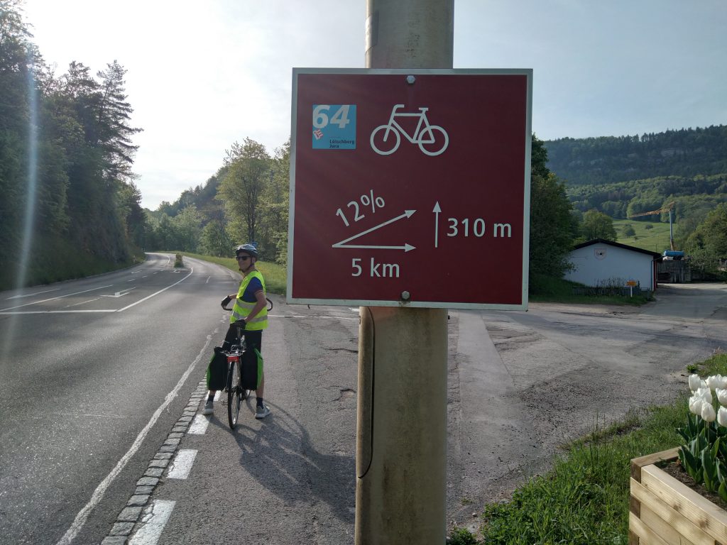
Vorne weg, wir haben alle Steigungen gut gemeistert – selbst ich als Antibergradler. Der große Vorteil, wenn man langsam unterwegs ist, liegt darin, dass man sich in Ruhe umschauen kann und die Umgebung wahrnimmt. Am Wegrand wachsen Wildkräuter in den Farben weiß, gelb, pink bis lila. Ich habe den Eindruck, dass auch wilde Orchideen darunter sind. Allerdings bin ich nur zuverlässig in der Bestimmung von Gänseblümchen, dann verliert sich meine botanische Kompetenz.
Wir passieren das Dorf La Malcôte, unspektakulär, aber ein Plateau, um ein bisschen Luft zu holen. Im Tal darunter liegt ganz versteckt ein kleines Dorf, dessen Kirchturm zuerst aus der Wiese ragt. Kurz vor dem Abzweig Richtung Süden liegt ein ehemaliger Gasthof, von wo aus man St. Ursanne im Tal tief unten liegen sieht. Den Abstieg ins Doubstal ersparen wir uns heute.
Corniche du Jura
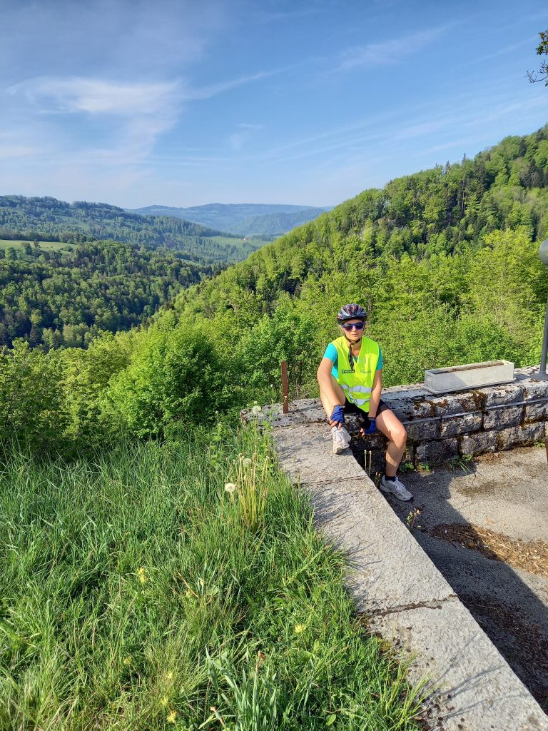
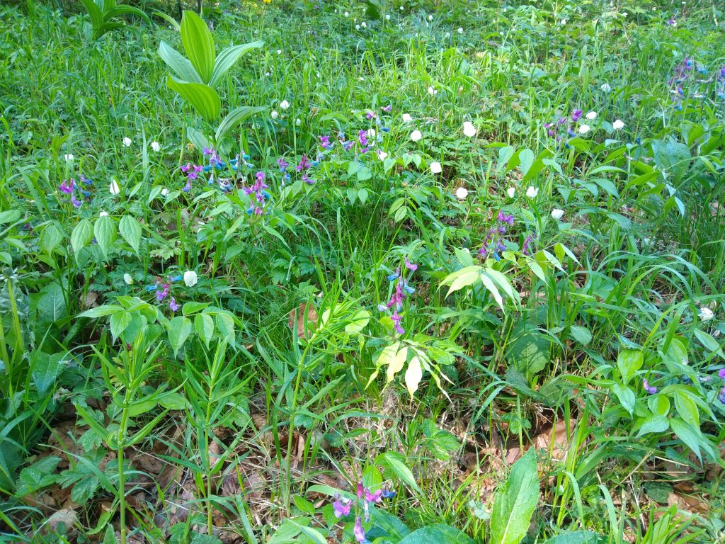
Die Corniche du Jura ist eine Kammstraße, die nur leichte Auf- und Abstiege enthält. Man muss sich auch auf die Landschaft konzentrieren. Der Weg führt durch Mischwälder. Die Laubbäume leuchten hellgrün von der durchscheinenden Sonne und bilden einen angenehmen Kontrast zu den dunkelgrünen Laubbäumen. Am Straßenrand nimmt die Vielfalt der Wildblumen weiter zu.
Wir fahren an Wiesen vorbei, die mit Trockenmauern befestigt sind. Diese Mauern werden uns den ganzen Tag begleiten. Kleine Dörfer mit typischen Chalets liegen auf dem Weg. Kurz haben wir durch die Bäume einen Blick hinunter nach St. Ursanne. Auf der anderen Seite weitet sich der Blick ins Tal. Gegenüber liegen auf der Nordseite des Le Chasseral noch Schneeflecken. Als wir die Corniche verlassen, sind wir im normalen Straßenverkehr.
In Saignelégier nimmt die Verkehrsdichte zu. Besonders die Firmenwagen rasen dicht an uns vorbei. In den vielen kleinen Verkehrsinseln, die es um die Orte herum gibt, versuchen die Autofahrer immer wieder, uns zu überholen, bis ich diese nur noch mitten auf der Straße durchfahre und die Autos damit ausbremse. Dann tauchen die ersten Fahrradwege auf. Die sind allerdings nicht die Lösung für unsere Schweizdurchquerung (s.u.).
Uhrenindustrie.
Je näher wir La-Chaux-de Fonds kommen, desto mehr Uhren – ja, was eigentlich, Fabriken darf bei diesen teuren Stücken wohl nicht sagen, also vielleicht – Manufakturen tauchen auf. In den kleinsten Dörfern ragen plötzlich supermoderne Gebäude auf, die die bekannten Luxusmarken beherbergen. Schon gestern lag gegenüber unseres Bauernhofes ein modernes Fabrikgebäude eines Uhrenherstellers.
Über eine dieser berühmten ständig ansteigenden Fahrradwege umfahren wir La-Chaux-de Fond. Von einem steilen Anstieg hat es einen Blick auf die Stadt. Auf den ersten Blick erinnert es an Schramberg im Schwarzwald. Auf den zweiten Blick sieht es mit den Hochhäusern nicht so schön aus. Die Stadtanlage ist UNESCO Kulturerbe.
Irgendwann nehmen die Anstiege ein Ende und wir treffen auf die Hauptstraße. Jetzt beginnt der „große“ Anstieg. Auf beiden Seiten sind Fahrradstreifen von der Fahrbahn abgetrennt. Und im Laufe des Tages stellen wir fest, dass die Autostraßen steigungsmäßig wesentlich angenehmer zu fahren sind als die Fahrradwege.
La Vue des Alpes.
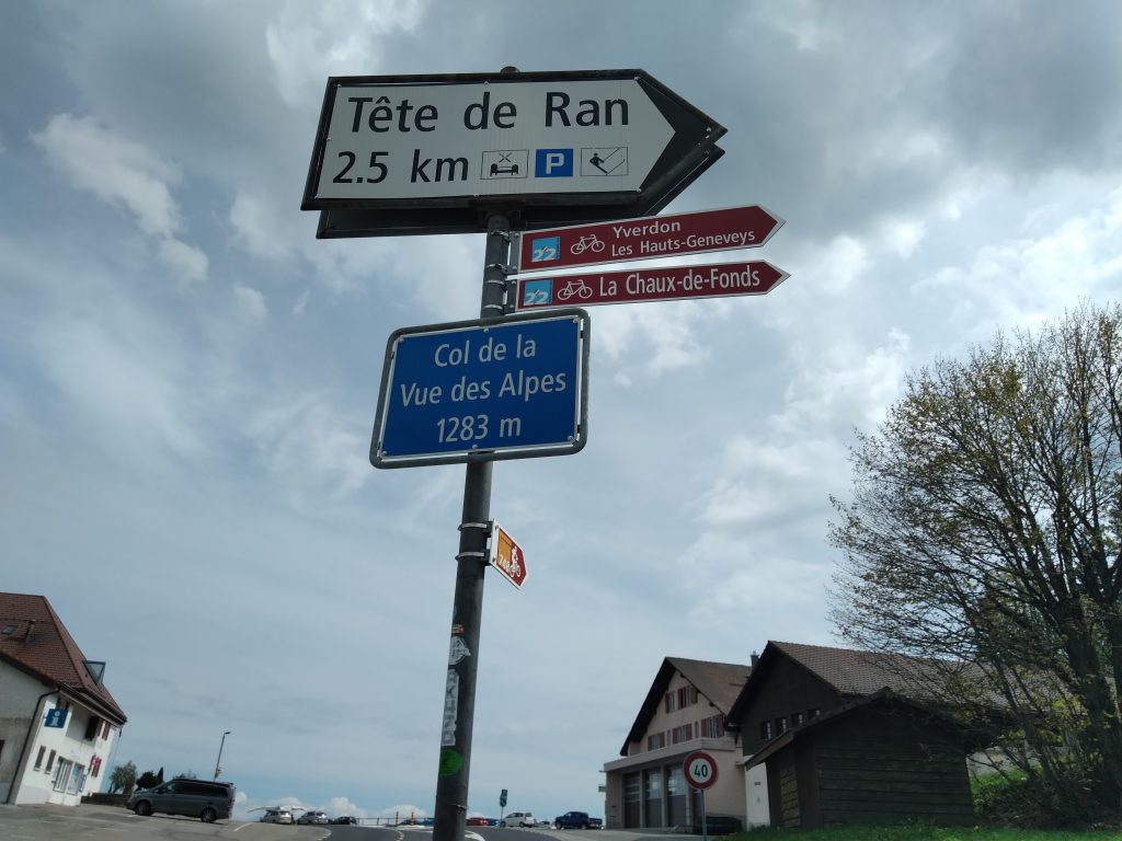
Der vermeintlich letzte Anstieg des Tages führt auf den Pass „Der Blick auf die Alpen“. Unterwegs überholt mich ein Rennradfahrer, ein älterer Herr, der sich zur Rente ein Carbonrennrad geleistet hat. Kurz darauf macht er eine Trinkpause. Als er mich wieder einholt, kommen wir ins Gespräch und fahren gemeinsam weiter.
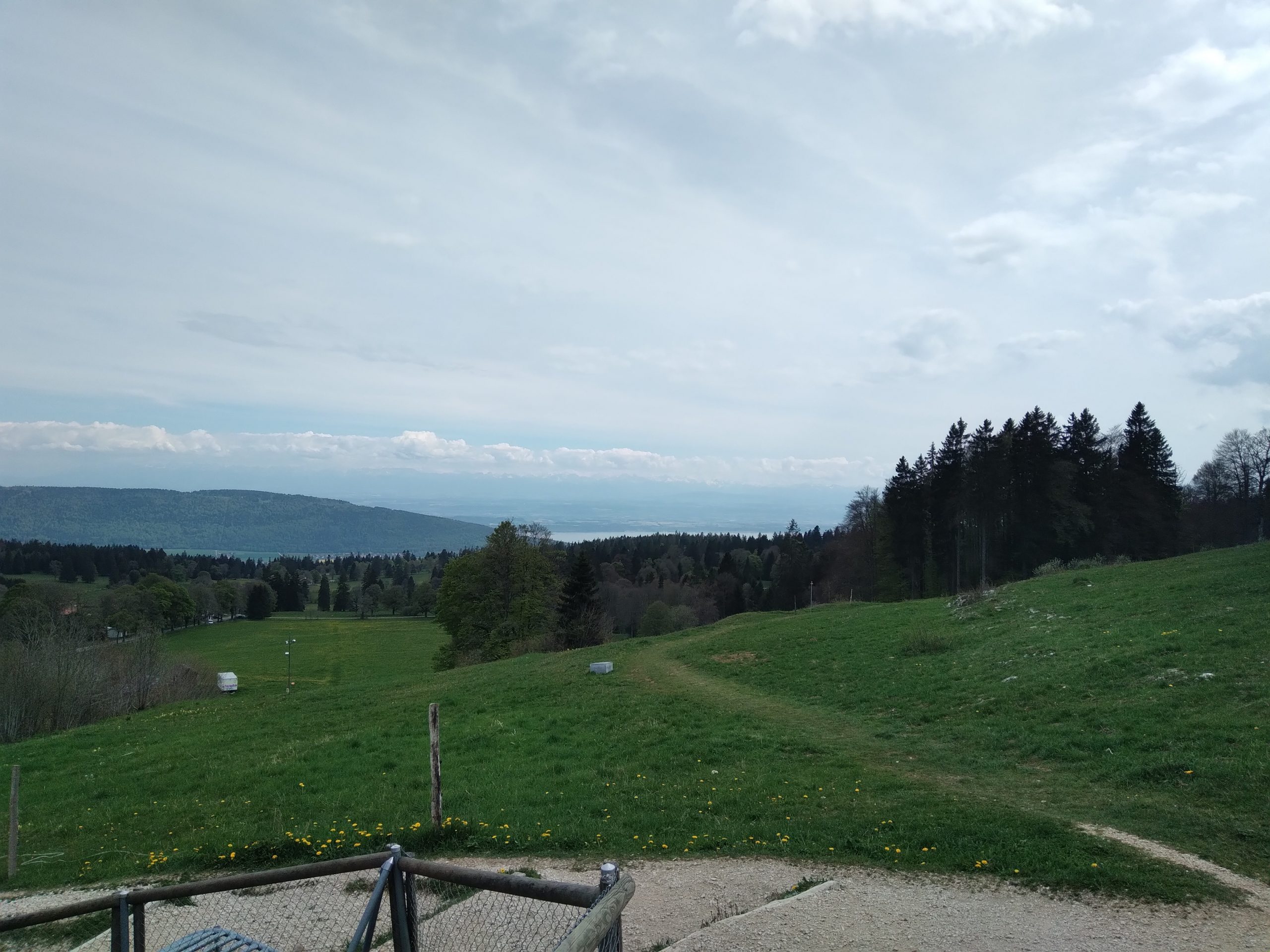
Auf 1280 Metern über Normalnull erreichen wir den Pass und der Blick öffnet sich auf die schneebedeckten Alpen. Auch heute ist es wieder diesig. Die Wirkung dieser Drei- bis Viertausender ist wirklich beeindruckend. Unten im Tal sieht man auch schon einen Zipfel des Neuchâteler Sees.
Wir fahren die Straße hinunter. Es ist wenig Verkehr und die Autos weichen weit aus, als wir mit bis zu 50 km/h den Berg hinuntersausen. Der Wind rauscht ohrenbetäubend. Regelmäßig bremsen wir ab – das funktioniert gut. Am Fuß des Berges stellt die Autobahnzufahrt keine Alternative dar und wir nehmen das kleine Sträßchen, das sich durch die Dörfer oberhalb des Sees hinstreckt und ständig hoch und runter führt…
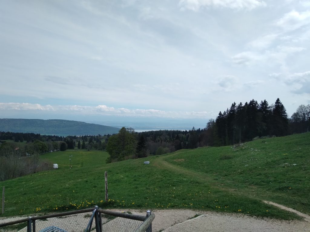
Versorgungslage südlich von Neuchâtel.
Wir beschließen nicht weiterzufahren und eine Übernachtung zu suchen. Unser Wunsch wäre ein kleines Bed &Breakfast in Boudry. Doch die Herrschaften fahren morgen in die Deutschschweiz in Urlaub, und um ihren Wein dort auszuliefern. Allerdings telefoniert der Hausherr die ganze Gegend nach einem freien Zimmer ab. Wir landen in einem in die Jahre gekommenen Hotel. Das Zimmer ist sauber und die Dusche heiß.
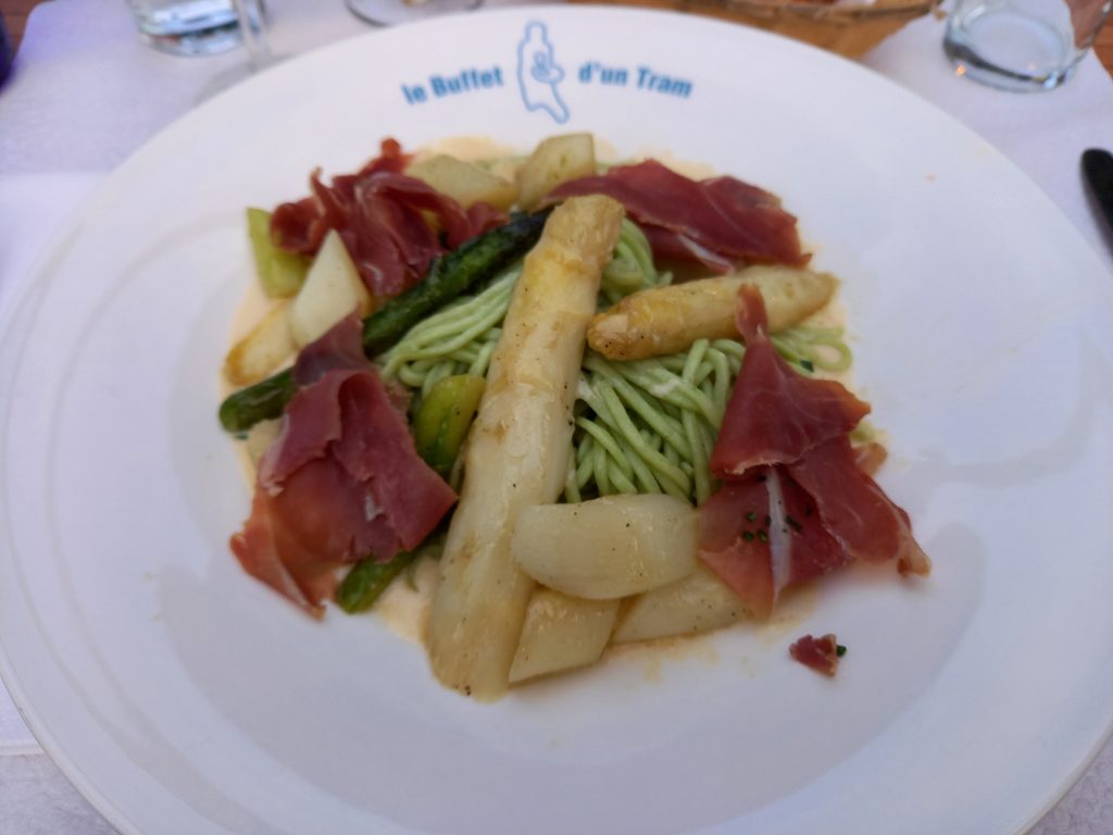
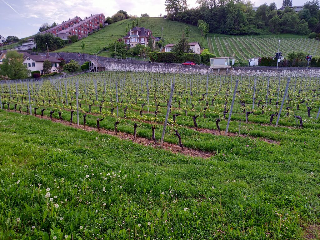
Wir wollen im Ort etwas essen gehen. Dabei kommen wir im Ort an den ersten Reben vorbei. Unser Ziel ist eine Brauereigaststätte, die kein eigenes Bier braut. Im Biergarten ist es voll und ganz nett. Das Essen ist lecker. Der Service ist teilweise sehr freundlich, teilweise völlig verpeilt.
Der Knaller des Abends ist, dass unsere schweizer Franken nicht mehr gültig sind…
Technische Daten – Schweizer Jura.
Heute lässt sich die Strecke mit den Anstiegen beschreiben. 1830 m die Berge hoch, ist für mich als Flachlandradler schon recht beachtlich. Wenn auch die Aussage, dass es nach dem Pass auf 1280 m Höhe keinen Anstieg mehr gibt, als Trugschluss erweisst, da die kleinen Straßen oberhalb des Neuchâteler Sees ebenso auf und ab führen.
Eine vermeintliche Serpentinenkurve entpuppt sich nach der Kurve als Tunnel.
Die maximale Abfahrt-Geschwindigkeit dürfte bei ca. 50 km/h betragen haben.
2. Etape – Cornol -Neuchâtel
| Merkmal | Beschreibung |
| Streckenlänge | 92 Kilometer |
| Höhenmeter | 1830 m Anstieg, 1860 m Abstieg |
| Höchster Punkt | 1280 m ü.N:N. |
| Wegbeschaffenheit | überwiegend stark befahrene Straßen |
| Wetter | Sonnig, nachmittags bewölkt |
| Besonderheiten | Wir sind durch einen Tunnel gefahren. Ein netter Rennfahrfahrer hat mich auf den Col de la Vue des Alpes begleitet und uns gleich eine schweizer Fahrradapp gezeigt. Die Besitzer der B&B, wo wir übernachten wollten, fahren morgen in Urlaub und haben für uns die ganze Gegend nach einem freien Zimmer abtelefoniert – Vorabreservierung ist schwierig, da wir nie wissen, wie weit wir kommen. https://www.chambresdhotesbovey.ch/ |
radUMwege.
Die schweizer Radwege waren mir als hervorragend und ausgeschildert angepriesen worden. Zu Beginn unserer Strecke sind keinerlei Radwege ausgeschildert. Als wir auf die ersten treffen und diese ausprobieren, stellen wir fest, dass sie immer wieder über landschaftlich schöne Landwirtschaftswege führen, die extreme Anstiege verzeichnen. Irgendwann treten die Abfahrten in den Hintergrund, wenn in der Ferne der nächste Anstieg noch höher führt. Das hat uns auch der nette Rennradfahrer bestätigt. Andere Strecken haben direkt in den Schotter geführt. Was ich sträflich vermisse, sind Schilder, die nicht einen Bienenweg, oder Zahlen beschreiben, sondern konkrete Ortsangaben, am besten mit Entfernungen nennen. Bisher bin ich enttäuscht von den Radwegen. Sobald wir morgen an den Seen sind, sollte das kein Problem mehr sein. Zur Ehrenrettung möchte ich hinzufügen, dass die Auf- und Abfahrt zum Col de La vue des Alpes größtenteils Markierungen hat, um einen Radweg von der Fahrbahn abzutrennen.
Also alles in allem haben wir einen sehr erfolgreichen Tag hinter uns. Wir haben die Höhen gemeistert, eine heiße Dusche bekommen und ein leckeres Essen.
Während ich hier schreibe, plant Andreas die Details für morgen. Es wird noch einmal ansteigen, bevor es südlich von Lausanne an den Genfer See geht… Das ist der Plan für morgen…
[Français] 2. Etape – Jura suisse.
Etape 2 : à travers le Jura suisse jusqu’au lac de Neuchâtel. Les dénivelés de 3690 m se répartissent presque également entre montées et descentes.
Cornol – Saignelégier.
La cloche de l’église sonne trois fois à 8h45 alors que nous partons. Cornol est un village typique du Jura, des maisons aux toits plats alignées le long d’un petit ruisseau. Nous suivons la route en passant devant une carrière, puis la circulation se ralentit et la montée commence. Un joli panneau d’information nous met dans l’ambiance.
À l’avant, nous avons bien maîtrisé toutes les ascensions – même moi, en tant que non-cycliste de montagne. Le grand avantage de voyager lentement est que vous pouvez regarder autour de vous à loisir et percevoir ce qui vous entoure. Des herbes sauvages en blanc, jaune, rose et violet poussent le long du chemin. J’ai l’impression que les orchidées sauvages en font partie. Cependant, je ne suis fiable que dans l’identification des pâquerettes, alors ma compétence botanique est perdue.
Nous passons devant le village de La Malcôte, peu spectaculaire mais un plateau pour prendre l’air. Dans la vallée en contrebas se trouve un petit village, complètement caché, dont le clocher de l’église dépasse d’abord de la prairie. Juste avant la bifurcation vers le sud se trouve une ancienne auberge d’où l’on aperçoit St Ursanne en contrebas dans la vallée. Nous nous épargnons aujourd’hui la descente dans le Doubstal.
Corniche du Jura
La Corniche du Jura est une route de crête ne comportant que de légères montées et descentes. Il faut aussi se concentrer sur le paysage. Le chemin traverse des forêts mixtes. Les arbres à feuilles caduques brillent d’un vert éclatant sous le soleil brillant et forment un contraste agréable avec les arbres à feuilles caduques vert foncé. Le long des routes, la variété des fleurs sauvages ne cesse d’augmenter.
Nous passons devant des prairies fortifiées de murets de pierres sèches. Ces murs nous accompagneront tout au long de la journée. Des petits villages aux chalets typiques sont en chemin. Nous avons un bref coup d’œil à travers les arbres jusqu’à St. Ursanne. De l’autre côté, la vue sur la vallée s’élargit. En face, il reste encore des plaques de neige sur le versant nord du Chasseral. A la sortie de la Corniche, nous sommes dans un trafic normal.
La densité du trafic augmente à Saignelégier. Les voitures de société, en particulier, passent juste devant nous. Dans les nombreux petits îlots de circulation qui entourent les villes, les conducteurs continuent d’essayer de nous dépasser jusqu’à ce que je les traverse au milieu de la rue et que je ralentisse les voitures. Puis les premières pistes cyclables apparaissent. Cependant, ils ne sont pas la solution pour notre traversée de la Suisse (voir ci-dessous).
industrie horlogère.
Plus nous nous rapprochons de La-Chaux-de-Fonds, plus les montres – oui, ce qu’en fait, les usines n’ont pas le droit de dire avec ces pièces chères, enfin peut-être – les manufactures apparaissent. Dans les plus petits villages, des immeubles ultra-modernes surgissent soudainement, abritant les marques de luxe les plus connues. Hier, il y avait un bâtiment d’usine moderne d’un fabricant d’horloges en face de notre ferme.
Nous pédalons autour de La-Chaux-de Fond par l’une de ces fameuses pistes cyclables qui ne cessent de grimper. Il a une vue sur la ville depuis une montée raide. À première vue, cela rappelle Schramberg dans la Forêt-Noire. Au deuxième coup d’œil, les gratte-ciel n’ont pas l’air si beaux. Le complexe de la ville est un patrimoine culturel de l’UNESCO.
À un moment donné, les montées se terminent et nous reprenons la route principale. La „grande“ ascension commence maintenant. Les pistes cyclables sont séparées de la route des deux côtés. Et au fil de la journée on s’aperçoit que les routes sont bien plus agréables à conduire que les pistes cyclables.
La Vue des Alpes.
Ce qui est censé être la dernière ascension de la journée mène au col „Der Blick auf die Alpen“. En chemin, un coureur cycliste me dépasse, un vieux monsieur qui s’est acheté un vélo de course en carbone pour sa retraite. Peu de temps après, il prend une pause pour boire. Quand il me rattrape à nouveau, nous commençons à parler et à conduire ensemble.
A 1280 mètres d’altitude nous atteignons le col et la vue s’ouvre sur les Alpes enneigées. C’est encore flou aujourd’hui. L’effet de ces sommets de trois à quatre mille mètres est vraiment impressionnant. Dans la vallée, on aperçoit déjà une pointe du lac de Neuchâtel.
Nous roulons dans la rue. Il y a peu de circulation et les voitures esquivent largement alors que nous dévalons la montagne à 50 km/h. Le vent gronde assourdissant. Nous ralentissons régulièrement – ça marche bien. Au pied de la montagne, l’accès à l’autoroute n’est pas une alternative et nous empruntons la petite route qui s’étire à travers les villages au-dessus du lac, montant et descendant sans cesse…
Situation de l’approvisionnement au sud de Neuchâtel.
Nous décidons de ne pas continuer et de chercher une nuitée. Notre souhait serait une petite chambre d’hôtes à Boudry. Mais les messieurs partent demain en vacances en Suisse alémanique et y livrent leur vin. Cependant, le propriétaire téléphone à toute la région pour une chambre libre. Nous nous retrouvons dans un vieil hôtel. La chambre est propre et la douche est chaude.
Nous voulons aller manger quelque chose sur place. Nous passons devant les premières vignes du village. Notre objectif est un restaurant brasserie qui ne brasse pas sa propre bière. C’est vraiment agréable dans le jardin de la bière. La nourriture est délicieuse. Le service est parfois très sympathique, parfois complètement foiré.
Le clou de la soirée est que nos francs suisses ne sont plus valables…
Données techniques – Jura suisse.
Aujourd’hui, l’itinéraire peut être décrit avec les montées. 1830 m dans les montagnes est tout à fait remarquable pour moi en tant que cycliste de plaine. Même si l’affirmation qu’il n’y a plus de montée après le col à 1280 m s’avère être un sophisme, puisque les petites routes au-dessus du lac de Neuchâtel montent et descendent aussi.
Ce qui semble être une courbe sinueuse se révèle être un tunnel après la courbe.
La vitesse maximale de descente aurait dû être d’environ 50 km/h.
2. Etape : Cornol – Neuchâtel
| Critère | Description |
| Itinéraire | 93 km |
| Mètres d´altitude | 3690 m |
| Point le plus haut | 1280 m |
| Etat de chemins | route avec beaucoup de trafic |
| Temps | soleil, nuage l´apres-midi |
| Particularités | Nous avons traversé un tunnel. Un sympathique pilote de course m’a accompagné au Col de la Vue des Alpes et nous a immédiatement montré une application de vélo suisse. Les propriétaires du B&B où nous avions prévu de séjourner partent en vacances demain et ont téléphoné à toute la région pour que nous trouvions une chambre – la réservation à l’avance est difficile car nous ne savons jamais jusqu’où nous allons. https://www.chambresdhotesbovey.ch/ |
Je ne décrirai pas les curiosités, les dates ou le style dans ce blog. Il existe de bien meilleurs sites sur Internet ou des livres passionnants pour cela. Je mentionnerai ce qui vaut la peine d’être mentionné.
itinéraires cyclables.
Les pistes cyclables suisses étaient annoncées comme excellentes et balisées. Au début de notre itinéraire, il n’y a pas de pistes cyclables balisées. Lorsque nous rencontrons et essayons les premiers, nous constatons qu’ils mènent toujours le long de sentiers agricoles pittoresques qui ont des montées extrêmes. À un moment donné, les descentes s’estompent lorsque la prochaine montée mène encore plus loin. Le gentil coureur cycliste nous l’a confirmé.
D’autres routes ont conduit directement dans le gravier. Ce qui me manque vraiment, ce sont des panneaux qui ne décrivent pas un chemin ou des chiffres d’abeilles, mais donnent des informations de localisation spécifiques, de préférence avec des distances. Pour l’instant je suis déçu des pistes cyclables. Une fois que nous arriverons aux lacs demain, cela ne devrait pas être un problème. Pour la petite histoire, je précise que la majeure partie de la montée et de la descente vers le Col de La vue des Alpes est balisée pour séparer une piste cyclable de la chaussée.
Donc, dans l’ensemble, nous avons une journée très réussie derrière nous. Nous avons maîtrisé les hauteurs, pris une douche chaude et un délicieux repas.
Au moment où j’écris, Andreas planifie les détails pour demain. Il grimpera encore une fois avant de se diriger au sud de Lausanne vers le lac Léman… C’est le programme de demain…
[English] 2. stage – Swiss Jura.
Stage 2: through the Swiss Jura to Lake Neuchâtel. Travers du Jura. The vertical meters of 3690 m are divided almost equally between ascents and descents.
Cornol – Saignelégier.
The church bell chimes three times for 8:45 am as we head out. Cornol is a typical Jura village, houses with flat roofs lined up along a small stream. We follow the road past a quarry and then the traffic eases up and the climb begins. A nice information sign puts us in the right mood.
At the front, we mastered all the climbs well – even I, as a non-mountain cyclist. The big advantage of traveling slowly is that you can look around at your leisure and perceive your surroundings. Wild herbs in white, yellow, pink and purple grow along the path. I have the impression that wild orchids are among them. However, I am only reliable in the identification of daisies, then my botanical competence is lost.
We pass the village of La Malcôte, unspectacular but a plateau to catch some air. In the valley below there is a small village, completely hidden, whose church tower protrudes first from the meadow. Just before the turn-off to the south is a former inn from where you can see St. Ursanne lying far below in the valley. We save ourselves the descent into the Doubstal today.
Corniche du Jura
The Corniche du Jura is a ridge road containing only slight ascents and descents. You also have to focus on the landscape. The path leads through mixed forests. The deciduous trees glow bright green from the shining sun and form a pleasant contrast to the dark green deciduous trees. Along the roadside, the variety of wildflowers continues to increase.
We drive past meadows fortified with dry stone walls. These walls will accompany us throughout the day. Small villages with typical chalets are on the way. We have a brief look through the trees down to St. Ursanne. On the other side, the view of the valley widens. Opposite there are still patches of snow on the north side of Le Chasseral. As we leave the Corniche, we are in normal traffic.
Traffic density is increasing in Saignelégier. The company cars in particular race right past us. In the many small traffic islands that are around the towns, drivers keep trying to overtake us until I just drive through them in the middle of the street and slow the cars down. Then the first bike paths appear. However, they are not the solution for our crossing of Switzerland (see below).
watch industry.
The closer we get to La-Chaux-de-Fonds, the more watches – yes, what actually, factories are not allowed to say with these expensive pieces, well maybe – manufactories appear. In the smallest villages, super-modern buildings suddenly rise up, housing the well-known luxury brands. Yesterday there was a modern factory building of a clock manufacturer opposite our farm.
We cycle around La-Chaux-de Fond via one of these famous cycle paths that constantly climb. It has a view of the city from a steep climb. At first glance it reminds of Schramberg in the Black Forest. At second glance, the skyscrapers don’t look so nice. The city complex is a UNESCO cultural heritage.
At some point the climbs come to an end and we hit the main road. Now the “big” climb begins. Cycle lanes are separated from the road on both sides. And in the course of the day we notice that the roads are much more pleasant to drive than the bike paths.
La Vue des Alpes.
What is supposed to be the last climb of the day leads to the pass „Der Blick auf die Alpen“. On the way, a racing cyclist overtakes me, an elderly gentleman who has bought a carbon racing bike for retirement. Shortly thereafter, he takes a drinking break. When he catches up with me again, we start talking and drive on together.
At 1280 meters above sea level we reach the pass and the view opens up to the snow-capped Alps. It’s hazy again today. The effect of these three to four thousand meter peaks is really impressive. Down in the valley you can already see a tip of Lake Neuchâtel.
We’re driving down the street. There is little traffic and the cars dodge wide as we zoom down the mountain at up to 50 km/h. The wind roars deafeningly. We slow down regularly – it works well. At the foot of the mountain, the access to the motorway is not an alternative and we take the small road that stretches through the villages above the lake, constantly going up and down…
Supply situation south of Neuchâtel.
We decide not to continue and look for an overnight stay. Our wish would be a small bed and breakfast in Boudry. But the gentlemen are going on vacation to German-speaking Switzerland tomorrow and to deliver their wine there. However, the landlord telephones the whole area for a free room. We end up in an old hotel. The room is clean and the shower is hot.
We want to go eat something locally. We pass the first vines in the village. Our goal is a brewery restaurant that does not brew its own beer. It’s really nice in the beer garden. The food is delicious. The service is sometimes very friendly, sometimes completely screwed up.
The highlight of the evening is that our Swiss francs are no longer valid…
Technical Data – swiss Jura.
Today the route can be described with the climbs. 1830 m up the mountains is quite remarkable for me as a lowland cyclist. Even if the statement that there is no more ascent after the pass at 1280 m proves to be a fallacy, since the small roads above Lake Neuchâtel also lead up and down.
What appears to be a serpentine curve turns out to be a tunnel after the curve.
The maximum descent speed should have been around 50 km/h.
2. stage: Cornol – Neuchâtel
| Feature | Description |
| Tour lenght | 93 Kilometers |
| Altitude | 3690 m |
| Highest point | 1280 m |
| Path condition | road with a lot of trafic |
| Weather | sunny, clouds in the afternoon |
| Special features | We drove through a tunnel. A nice racing driver accompanied me to the Col de la Vue des Alpes and immediately showed us a Swiss bike app. The owners of the B&B we were planning to stay at are going on holiday tomorrow and have been phoning the whole area for us to find a room – advance booking is difficult as we never know how far we are going. https://www.chambresdhotesbovey.ch/ |
I will not describe sights, dates or style in this blog. There are much better sites on the internet or exciting books for this. I will mention what is worth mentioning.
cycling routes.
The Swiss cycle paths were advertised as excellent and signposted. At the beginning of our route there are no signposted cycle paths. When we meet and try the first ones, we find that they always lead along scenic farm tracks that have extreme climbs. At some point the descents fade into the background when the next climb leads even higher in the distance. The nice racing cyclist confirmed that to us.
Other routes have led directly into the gravel. What I really miss are signs that do not describe a bee path or numbers, but give specific location information, preferably with distances. So far I’m disappointed with the bike lanes. Once we get to the lakes tomorrow, that shouldn’t be a problem. For the record, I’d like to add that most of the ascent and descent to the Col de La vue des Alpes has markings to separate a bike path from the roadway.
So all in all we have a very successful day behind us. We mastered the heights, got a hot shower and a delicious meal.
As I am writing, Andreas is planning the details for tomorrow. It will climb one more time before heading south of Lausanne to Lake Geneva… That’s the plan for tomorrow…
3 Antworten
Ihr Lieben,
schön , daß ihr mich mitnehmt!
Ein Trost für die Unkenntnis beim Blumen bestimmen: man kann sich auch in das , die oder den unbenamten verlieben !.musst ihnen ja keine Email schreiben , genießt einfach weiterhin .!!
P.s. Es gibt seek..eine bestimmungsapp.
Liebe 💘 uschi
Liebe Uschi, wie schön, dass du dabei bist!
Da ich die Kommentare selbst freigebe, musst du dich ein bisschen gedulden.
Die nächste Etappe braucht noch ein paar Bilder und dann ist sie online…
Ganz liebe Grüße und bis bald!
Pia und Andreas
Heute hätte wir die Vogelstimmen-App gebraucht…
DAs ist aber beim Fahren so schwierig…